

ALL SERVICES
Learn More About Each Service Type by Clicking to Expand.
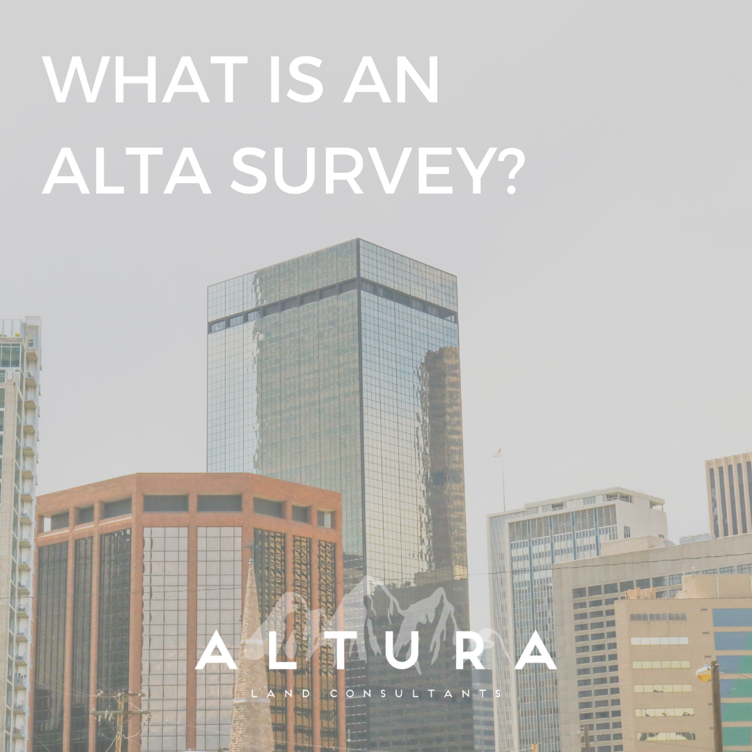
ALTA/NSPS Land Title
ALTA stands for American Land Title Association while NSPS is the National Society of Professional Land Surveyors. The standards for these surveys are defined by these entities and generally defines the boundary survey while assessing the insurability of the property.
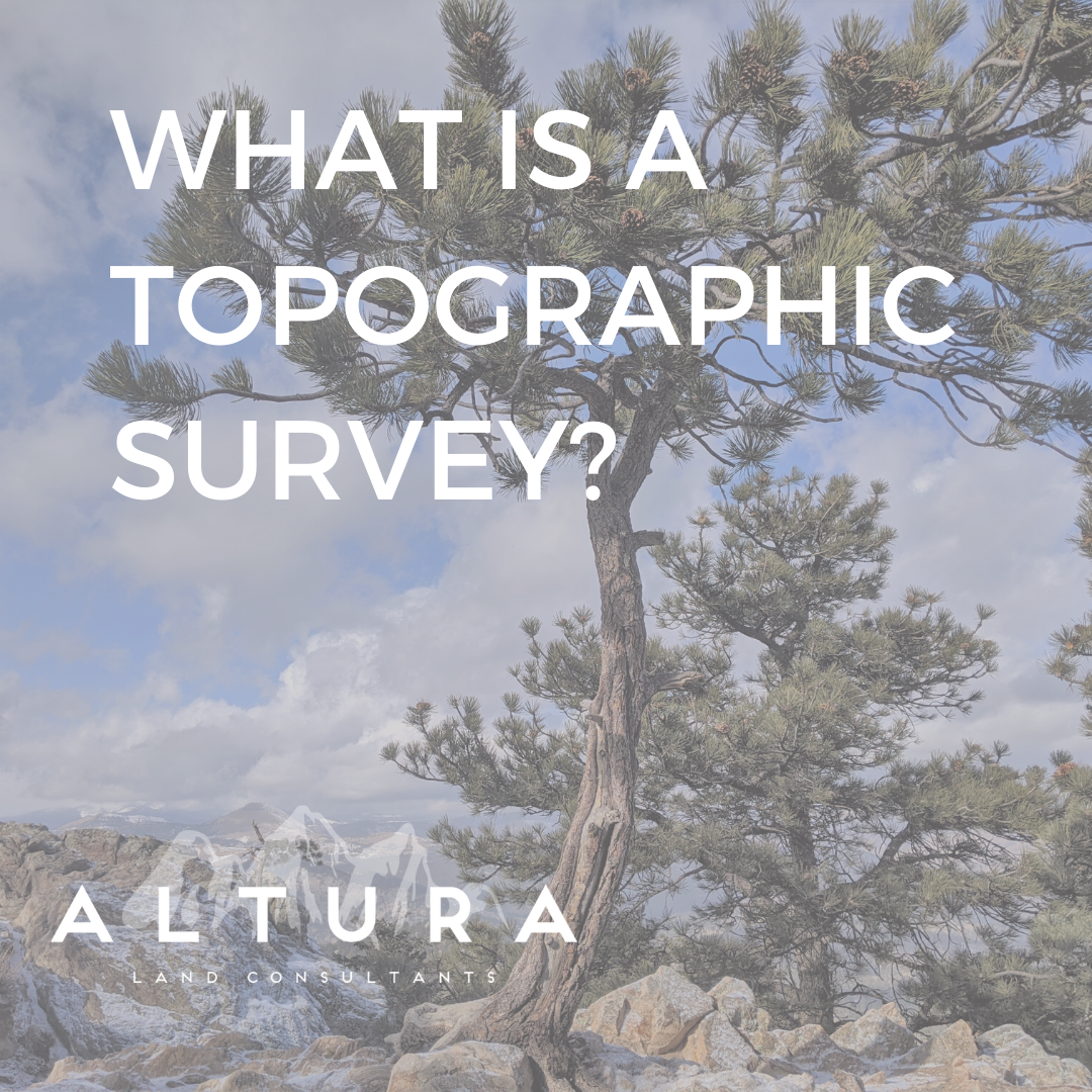
Design Topographic Surveys
Topographic surveys reveal the surface features of the designated area. This can include both natural and manmade features.
Boundary Surveys (Land Survey/Improvement Survey Plat)
Surveys of this type are used to locate property lines and corners. These surveys also find easements or uncover any encroachments within the property.
GPS Surveys
GPS, or the Global Positioning System, is used to gather supplementary data alongside other surveying equipment. It is useful in dealing with particularly rough terrain.
Control Surveys
Control surveys are utilized for their potential in providing highly detailed and accurate data. They are used to pinpoint horizontal and vertical locations.
Environmental Surveys
To assess lands damaged by non-natural causes, environmental survey are used. These surveys are also help predict potential environmental disruption.
3D Laser Scanning Services
3D laser scanning is a relatively newer surveying technology used to collect high definition laser scan data.
Geodetic Surveys
Geodetic surveys account for the curvature of the Earth.
Subdivision Mapping
Also referred to as subdivision platting, subdivision mapping is a way to split land parcels into smaller units. This process uses the lot and block survey system.
Legal Description and Exhibits
This service generally refers to real estate needs.
Aerial Mapping
Aerial mapping can be used to combat surveying needs on a larger scale.
Flood Certificates
Flood certification is required for many different aspects during a construction project including but not limited to insurance and loans.
Renewable Energy
Altura is able to assist in land surveying needs surrounding renewable energy projects.
Learn More About Our Services
HAVE QUESTIONS OR WANT TO GET STARTED?
